OK Tooloom. First off amazing country, (almost ALL PRIVATE) I did some ground work with an owner over the past few weeks but he still got angry when I parked by the bridge and walked up the river.
So I walked down the river from the Tooloom bridge this is the exact boundary between Tenterfield and kyogle on the old Tooloom road.
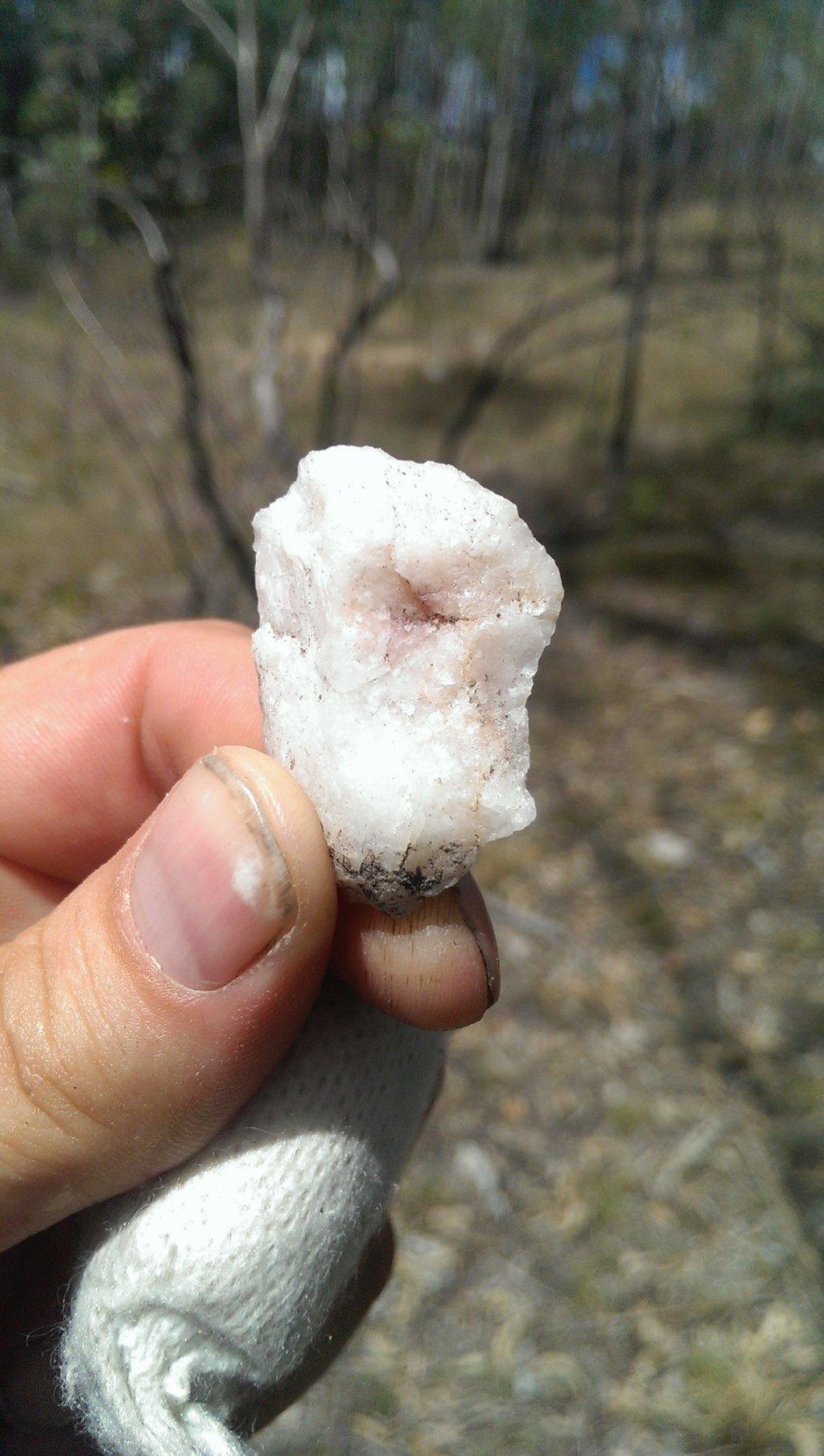
From the start the river its deep with high cliffs and wall to wall water in places it is up to ten feet deep. It is not an easy place to move around in, I headed down and got wet, with up to ten feet high bedrock coming out of the river running cross ways like giant riffles, lots of soft sand and mud. After about 2 km of walking I panned a small patch sand below a waterfall coming in to the Tooloom I got very light color nothing even worth keeping just flower stuff, I decided to take a look up this water way, After climbing maybe 30 meters of a dry rock waterfall (Tooloom is not flowing or are any of the creaks entering it is very dry out that way) I walked about 150-200 meters up and around this creak until I found signs of mining. lots of holes in the ground two feet deep and about six feet wide. I have some photos of the area ill post after this. I also picked up a piece of rose quarts from on the edge of the workings. I didn't do any panning up there as there was no water at all and I didn't feel like carrying dirt back down the waterfall.
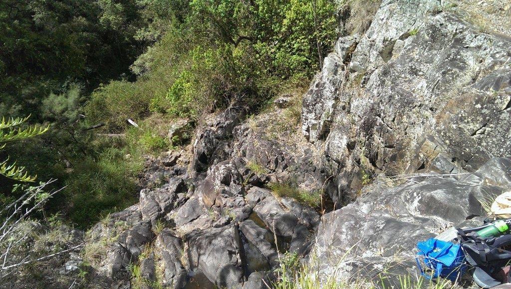
Back in the Tooloom. Walking south I made my way passed a small gully with a farm track running from the other side of the river to the other and on up the hill, Passing this and around another bend I came across the gully I was after with same type track but this one I think is Joes Gully lots of old broken pipes and much bigger, bigger than all the rest. I walked up the Gully and saw what I think was allot of old dig sights on the sides of the hill and lots and lots of tailings. At this point I dug a few test spots into a bucket and took them back down to the Tooloom for panning. (Again no water up joining creaks) This was the same as the other creak but more of it. lots and lots of very micro gold dust. maybe it is a good hi-banker with own water supply material however to get any more than a shovel full you have to move large rocks constantly. Rocks ranging from 6 inches to 3 feet across. The whole place is covered in heavy broken rock and not much sand or dirt.
From there I walked another 1.5 km down the Tooloom for a look at very much allot of the same. Huge beautiful wide river lots of natural riffles of bedrock, bent trees and sand bars with wall to wall water and 50 ft cliffs on each side. By the time I walked out it was getting dark however I could still see the note on the car from Sam.. lol. All up I would suggest driving in through the Yarrbra state forest. from what I can find on line you can walk tramp and camp in state forests. "if any one has any more info on this I would love to read it" Walk up the tooloom to the gold diggings or drive in a road called Tin hut/shed road this runs off the old tooloom road about 2.5 km north of the tooloom bridge closer to Urbanvil this goes all the way round to the back of the joes gully mine site. I'm guessing there will be a gate there somewhere as the area is under the malachite mines claim. I think that was their assess road. How ever if someone was to go out that way on a dirt bike with a swag and metal detector you could ride right along the ridge all the way to the first lot of diggings I came across. Again dont get caught "Sam" dose not like trespassers.. Oh and PS take a machete as there is lots and lots of lantana if you want to stick to the river you will need to make your own path!!