


What_Trigger
Nathan
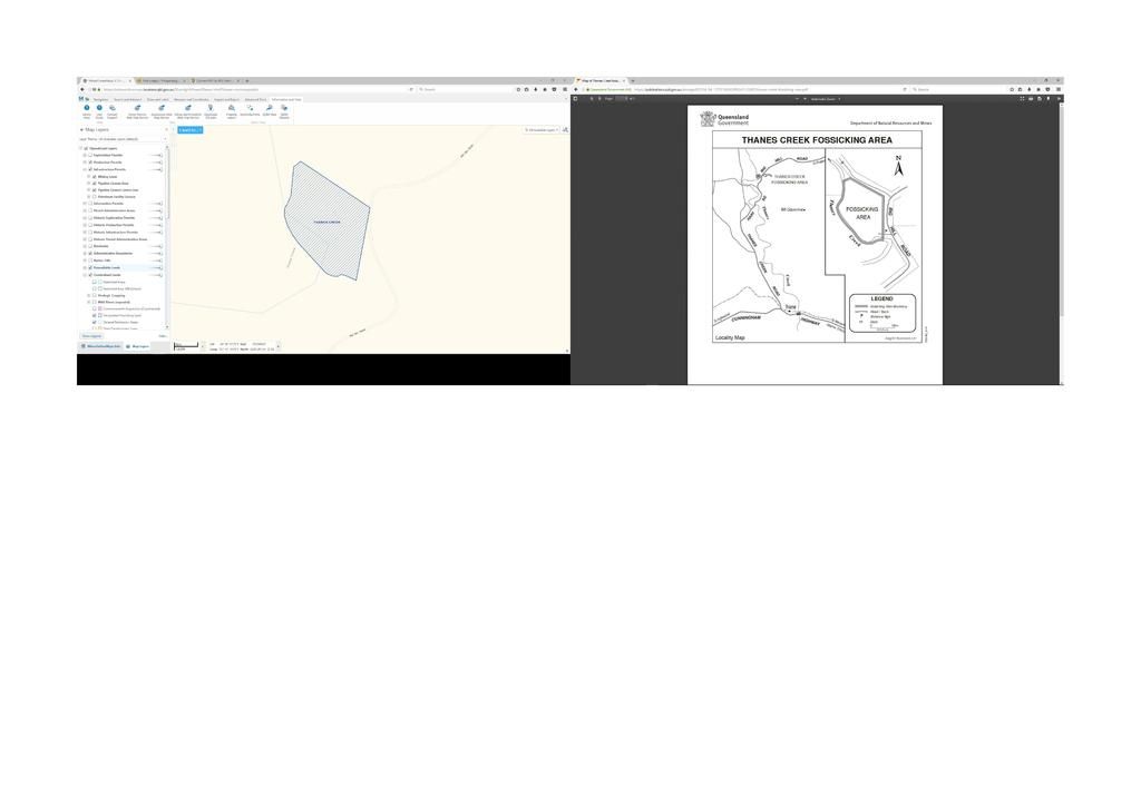
Hi all, just curious as to the typical fossicking maps you can download from the qld government on the right hand side and the actual maps from minersonline maps on the left which can actually give you coordinates on the boundaries etc.
In the map on the right as per the normal pdf download map the east boundary is north south vertical but the left map runs more SSW from north to south. Also both maps are set north is top.
So Im curious as to which page map is more correct? as im logging in all the boundary points into a gps and what may happen in the case of been pulled over for been out of bounds
