Gday Madworld,
You need to go and verify the grid reference you have been given as they appear to me to be recorded incorrectly and as bazza210 and Westaus suggest, may be in Mils rather than d/m/s.
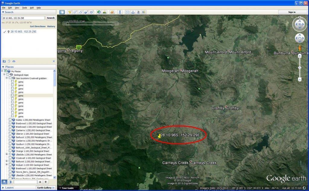
All grid references in Degrees/Minutes/seconds (360 deg in a full circle, 60 minutes to each degree and 60 sec to each minute) are expressed as Latitude and then Longitude.
Latitude is an angle measure between 0 at the Equator to 90 (North or South) at the poles. Lines of Latitude run east-west as circles parallel to and both north and south of the equator. Latitude angles therefore range between 0 to +90 degrees (90 degrees north), and from 0 to -90 degrees (90 degrees south). +90 is the grid north pole and -90 is the grid south pole.
Lines of Longitude also known as Meridians are half-circles running from pole to pole. Latitude is measured from the Prime Meridian passes through Greenwich, England and is also known as the Greenwich meridian. Time is also measured with Greenwich hence the term GMT-Greenwich Mean Time.
If a meridian is to the east of the Prime Meridian, the longitude is expressed as a positive; If a meridian is to the west of the prime meridian, the longitude is expressed as a negative. Therefore, longitude angles can range from 0 to +180 degrees (180 degrees east), and from 0 to -180 degrees (180 degrees west). The +180 and -180 degree longitude meridians meet and coincide as the same meridian directly opposite the Prime Meridian at Greenwich.
So, Latitude and Longitude lines encircle the Earth respectively as full horizontal circles and vertical half circles. When combined, the lines of latitude and longitude form a grid pattern on the Earths' surface. As each line of latitude and longitude have a measurement of angle expressed as a number, the intersection of the two lines gives a unique and precise location for any point on a map known as a grid reference.
No, the following may be where your problem lies:
Commonly in land navigation and depending on the settings applied to a GPS to pin point a location on the Earths' surface, the unit of measurement is Mils (6400 mils in a full circle) rather than d/m/s. This is known as the Military Grid Reference System (MGRS). And, just to throw a spanner in the works, grid references measured in Mils are always written, read and applied with the Eastings as the first set of coordinates and then Northings the second set. Yep, opposite to the d/m/s unit and method.
The way the Army taught us to remember this was that you always had to get a girl to come "Across'' (associating that with Eastings grid lines that run as vertical lines across the map from left to right/west to east) before you take her "Up" (associating that with Northing grid lines which run as horizontal lines from the top to the bottom of the map/ north to south) to meet your mum.
The reference points on the Earth to measure Mils are similar to the Lat/long method but the system is rather complicated to explain here. As complex as it is, it is very easy to use in practice. If you are keen to get your head around navigation and the MGRS have a look at the wiki page at <
https://en.wikipedia.org/wiki/Military_grid_reference_system>
Wiki gives a pretty good summary of how MGRS works but for all its complexity, especially in the Polar regions, it is very easy to use and to navigate accurately with needing little more than a map, compass and the ability to count to at least 10. I learned it and lets say that numeracy was never my fotr.
The Peacekeeper.