McIntyre Historical Area. Matrix Reef.

Prospecting Australia

Help Support Prospecting Australia:

This site may earn a commission from merchant affiliate links, including eBay, Amazon, and others.
Joined
Jan 16, 2017
Messages
239
Reaction score
408
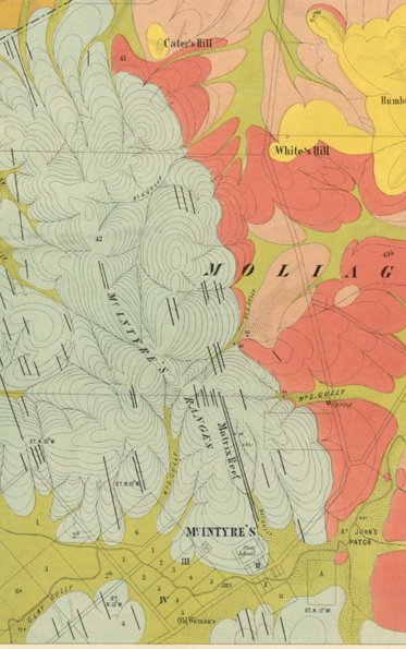
I've come across references to this area in most of my research. Google earch searches and old maps only go so far.
1510730156_matrix16.jpg
1510730182_matrix15.jpg


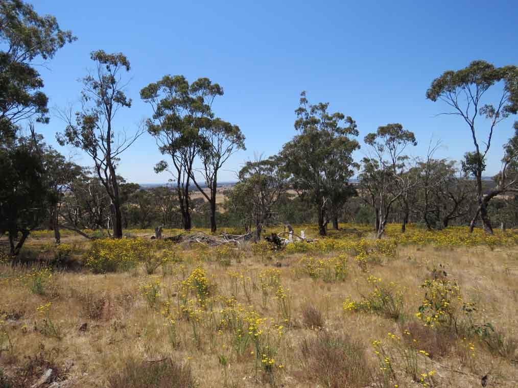
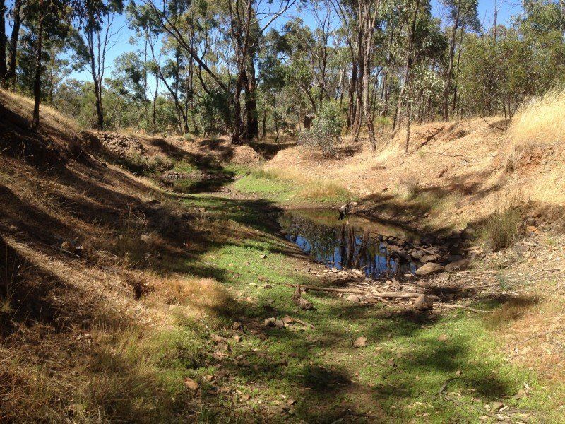
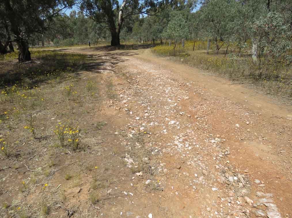
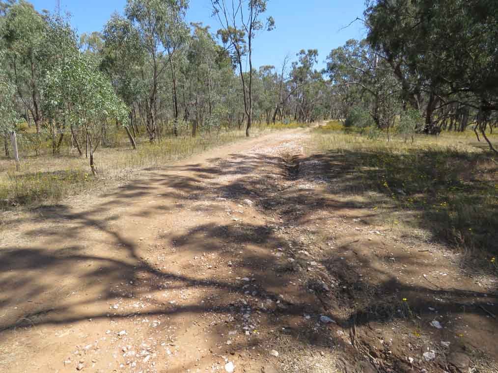
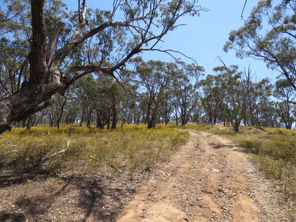
Just a few days ago I was driving past and decided to finally stop for a look. If it is dry then any 2wd car should not have a problem accessing the lower portion near the old state school.
1510730309_matrix10.jpg
1510730345_matrix1.jpg

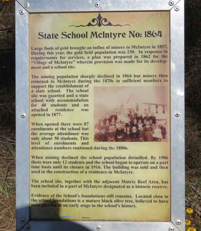
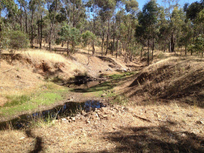
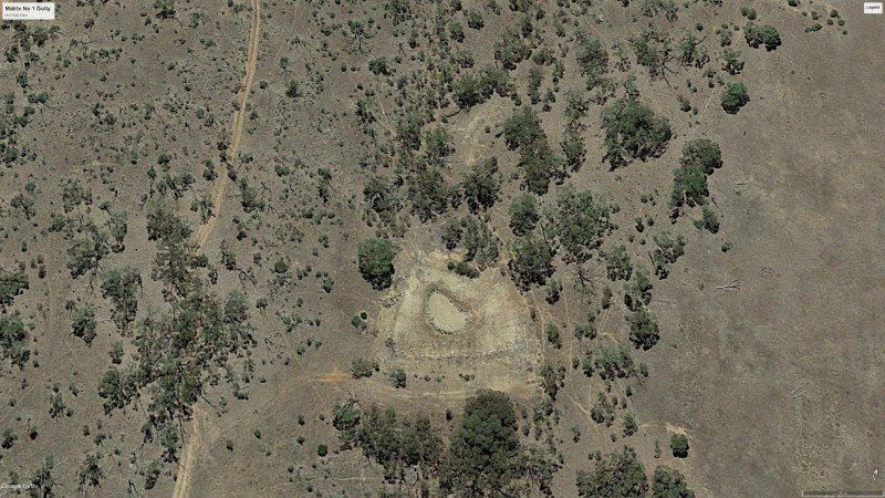
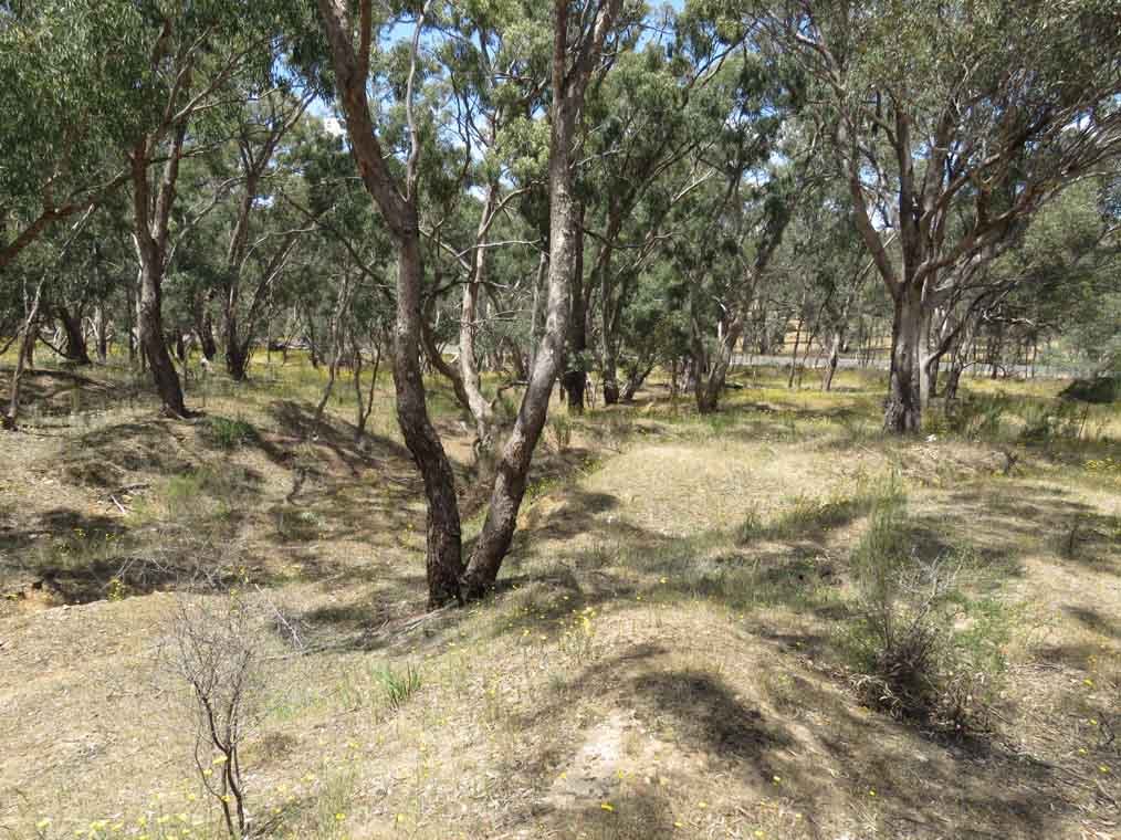
Next to the school running down hill is No1 gully and a bit further down is Orville Creek.
1510730557_matrix11.jpg
1510730594_matrix12.jpg

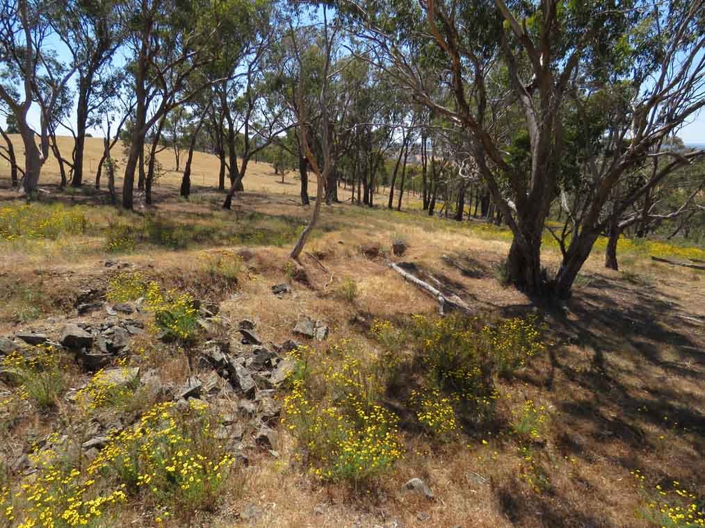
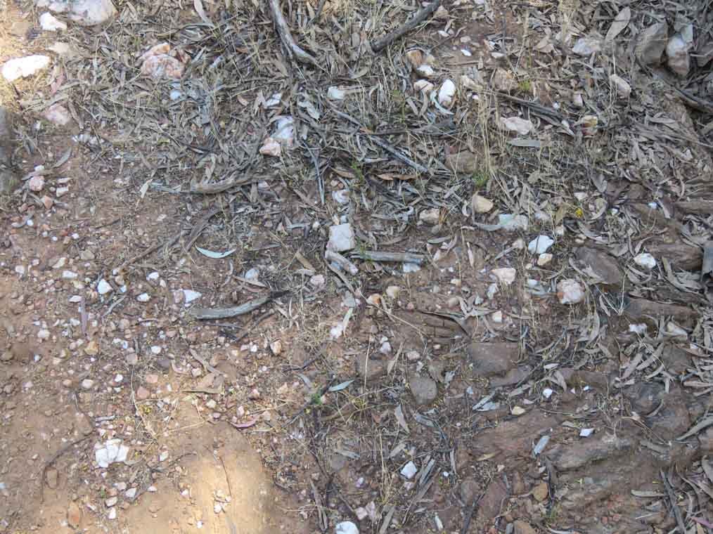
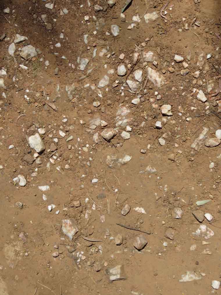
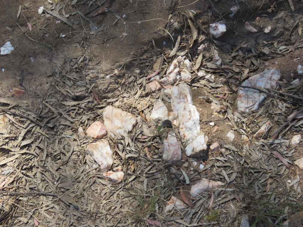
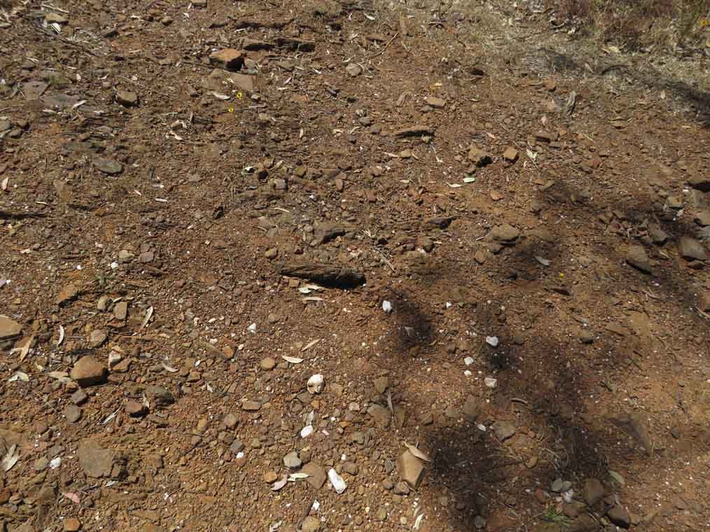
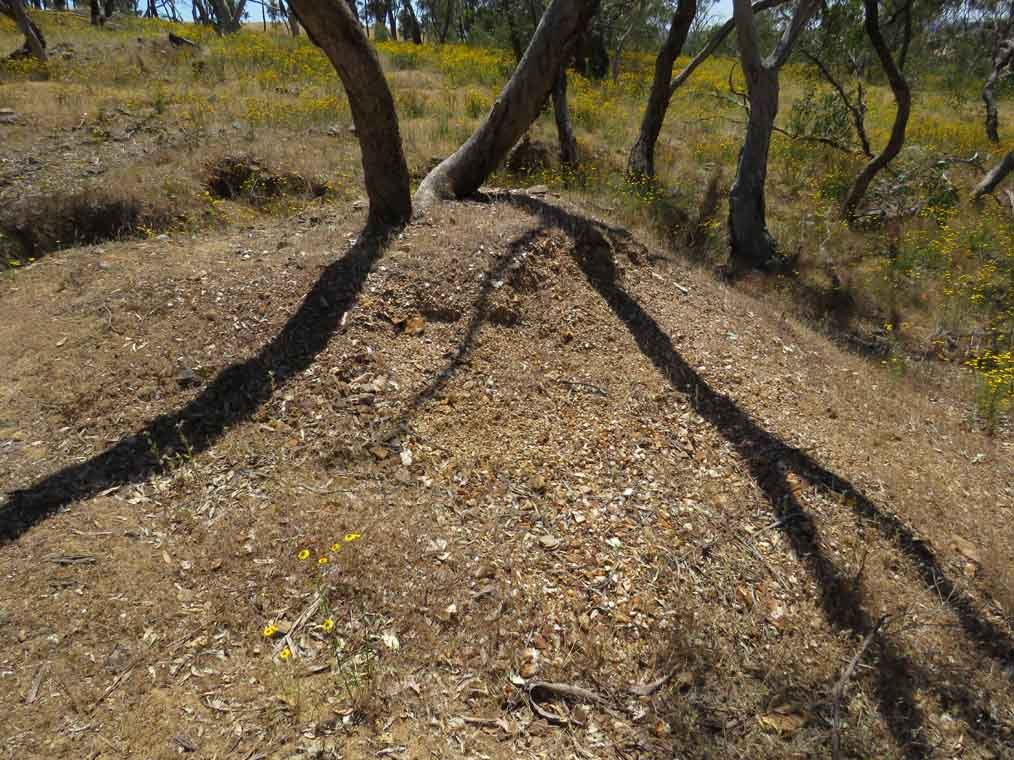
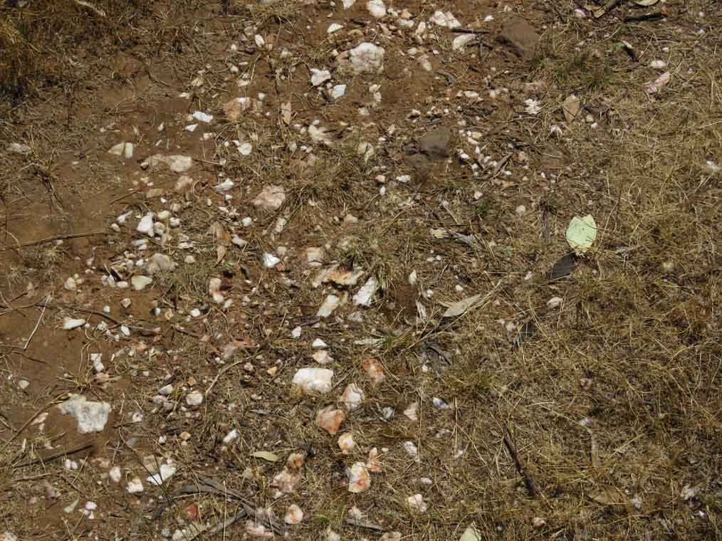
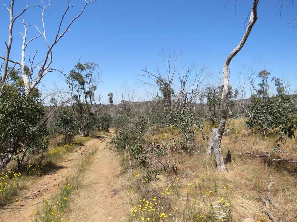
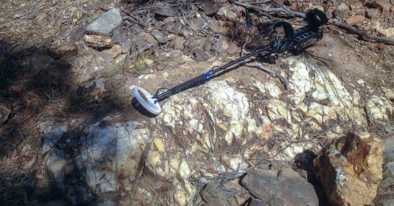
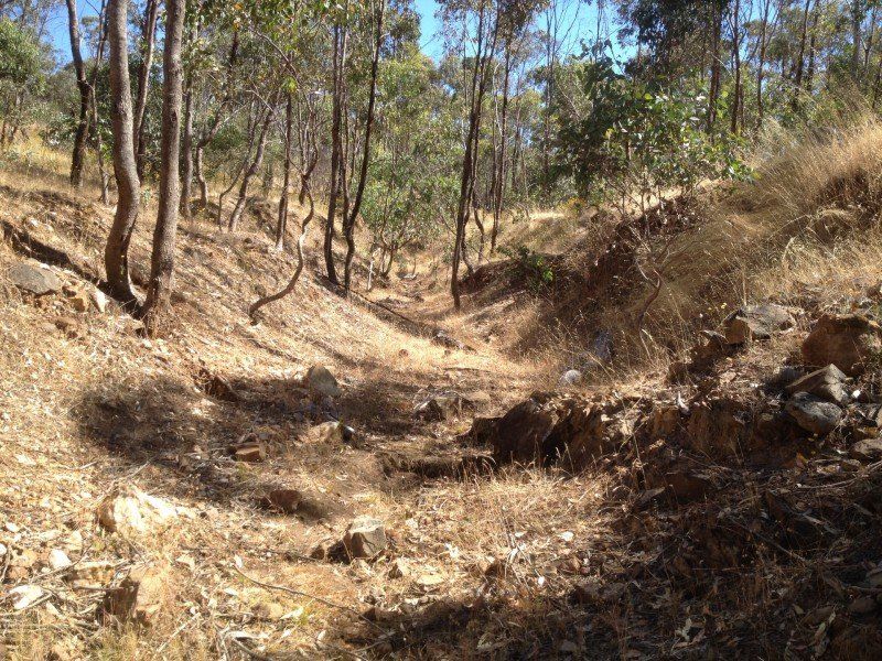
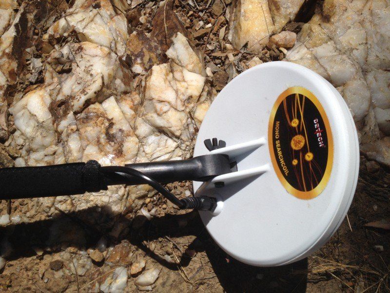
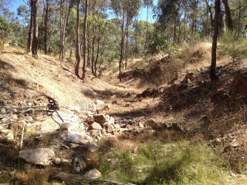
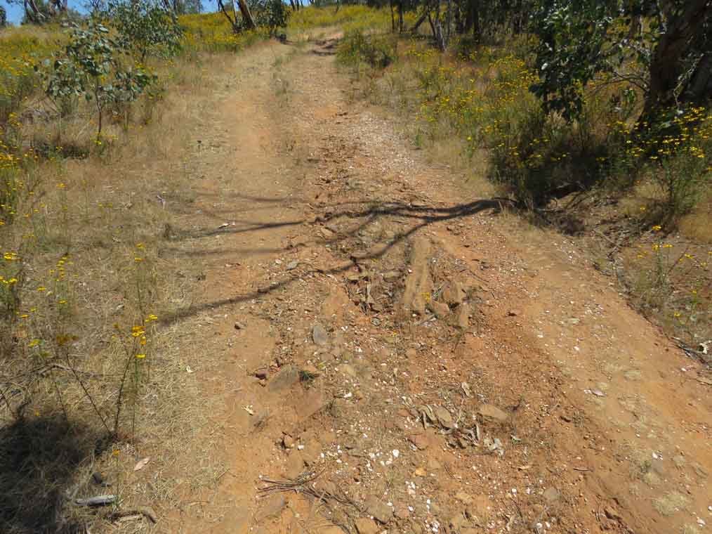
Having a new pair of boots that needed to be run in I had no option but to climb up the hill following the track. Lots of dirty quartz, ironstone etc. The ground was shallow and the trees looked like they were struggling.
1510730797_matrix2.jpg
1510730821_matrix3.jpg
1510730845_matrix4.jpg
1510730869_matrix5.jpg

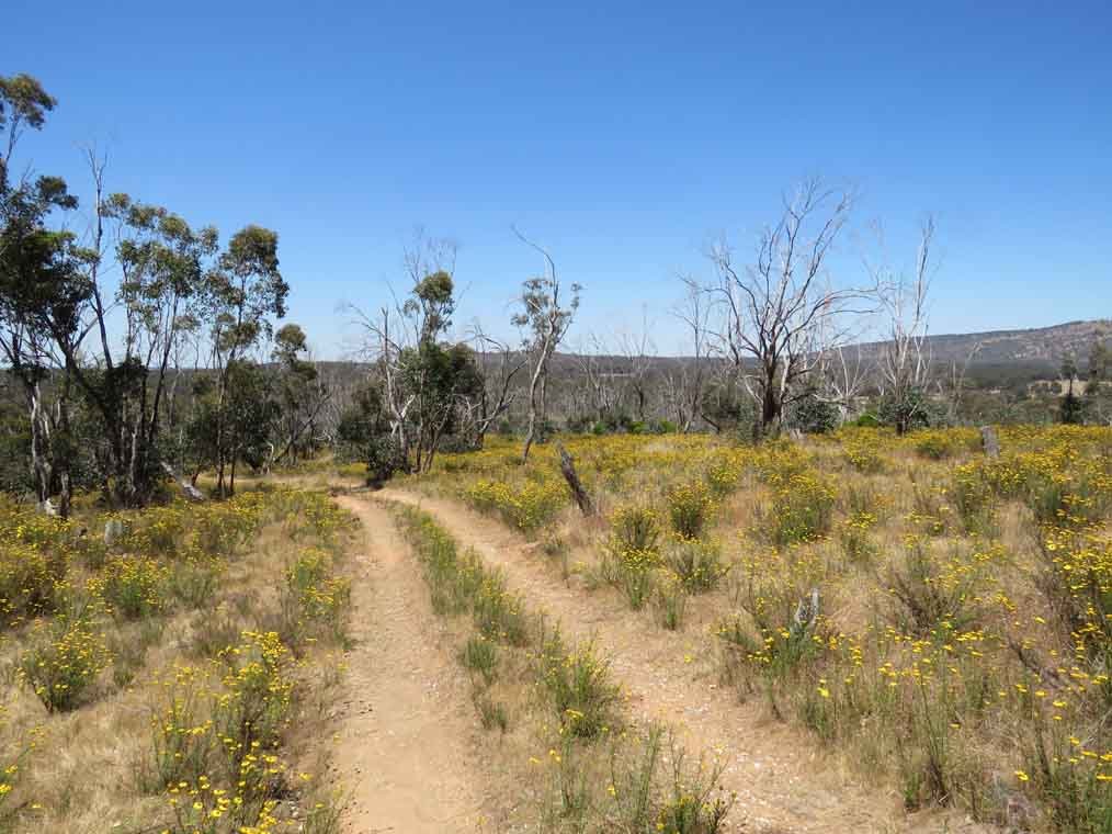
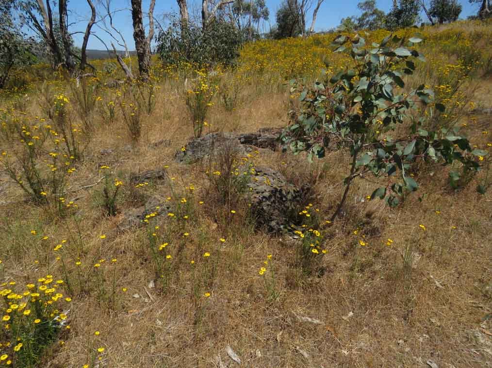
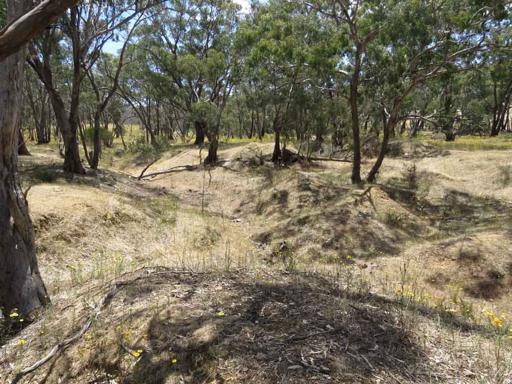
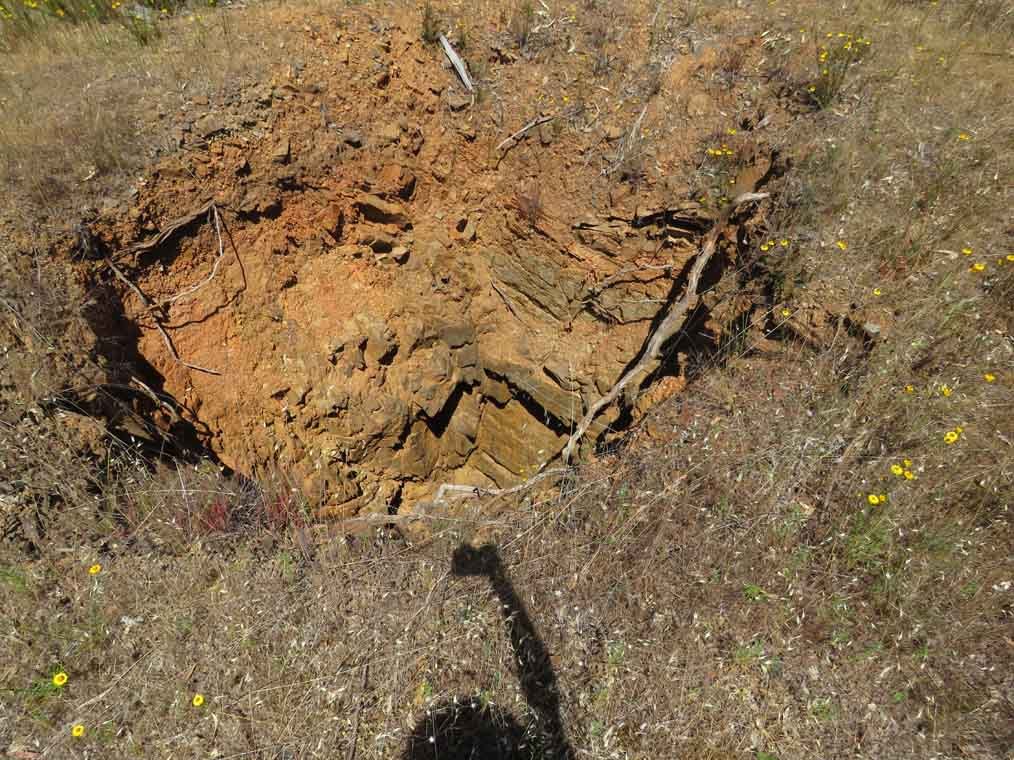
As you near the top there are deep shafts and open cuts. Be very careful here...
1510730991_matrix7.jpg

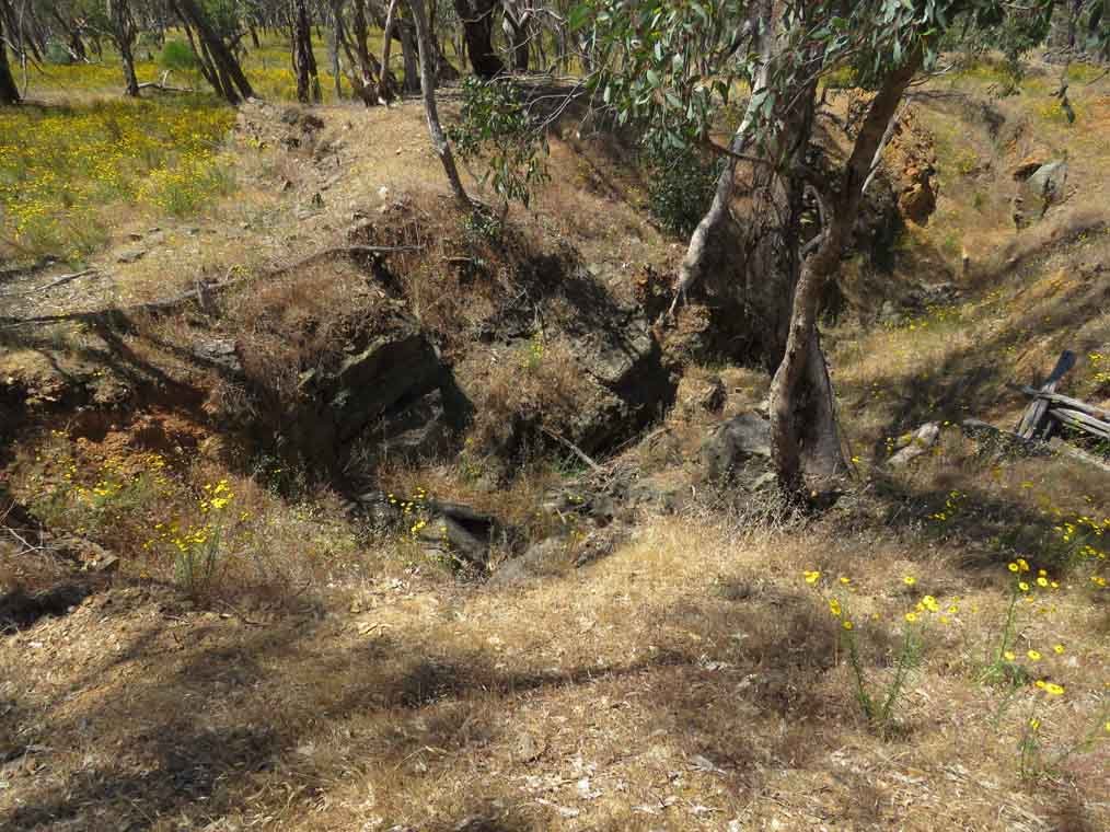
Very easy for kids or pets to come to grief..
1510731311_hole.jpg
1510731329_hole2.jpg
 
At the top of the hill it opens up into private property. It's possible portions of No2 gully also fall within the historical area, down the hill to the right bordering private property.
1510731744_hilltop.jpg

This area looks very interesting, I'm sure that I will not be the only person interesting in having a bit of a look.

All the best,
Karelian
 
fantastic work!!
Great range of pics and you seem to know the areas workings quite well, very informative.
:Y: :Y: :D
 
1510737588_ground6.jpg
I spent a good day poking about. Sometimes the ground is very different from what the geological maps and records lead us to believe, not Matrix reef. This area is interesting to me because it so clearly illustrates so many geographic and geological features. Mix that with known history and it is like a day in school. How to identify shallow ground, what it looks like etc, I spent a lot of time with my eyes to the ground. What kind of person takes photographs of the ground?

My detecting buddy took one look at the hill and informed me he wanted to read the paper and listen to the radio. He did make some mention of him as a younger man easily galloping up the hill. This was before his two hip replacements, which I can detect at a good distance.
1510737305_lazy1.jpg


Some good examples of shallow ground, signs of mineralisation . Trees stunted or dead again indicating shallow ground.. I hope I'm not the only one taking images of the ground..?
1510737424_ground1.jpg
1510737439_ground2.jpg
1510737456_ground3.jpg
1510737483_ground4.jpg
1510737499_ground5.jpg
1510737634_ground7.jpg


Should point out that this area does allow metal detecting. I did check the website and I'm not aware of any changes.
 
Just the last of my snaps to finish off.
1510738011_ground8.jpg
1510738035_ground11.jpg

There were some detector holes, a few not filled in. It is a fair size area and some sections don't appear to have enjoyed too much attention. This area made for a good day out and I'm glad I stopped to explore and satisfy my curiosity.

Again all the best.
Karelian
 
Great pictures Kerelian .
Its amazing how many places that were thriving in the 1800's because of the mining activity , are now grazing sheep and cattle.
There must be many small historic gold fields out there that are on private property..
i have seen a few properties around Wedderburn that have high fences and signs warning people to stay out that show up on Geovic that they were once surfaced gold fields .. Makes me wonder how much potential places are locked up on private property and the land owners probably have no idea or dont care..
Thanks for sharing your picts and information.. :Y:
 
Forgot to mention that if you are thinking of visiting this area a good guide to where you can and can't detect is, Parks Victoria Kooyoora State Park Prospecting Guide. It is available at the Parks Victoria website along with other prospecting maps, they are not perfect but do offer valuable information. Combined with other maps and information they are worth downloading. Old news to locals but perhaps worthwhile for visitors.

Yes nucopia I can think of a number of private properties that have superb prospects, but I always respect private property and the rights of the owners. No law against knocking on the farmers door and asking.. we can dream can't we.. Luckily in Victoria we have very good access to State Forest and other public lands, although there is considerable room for improvement. It helps if we fill in our holes.. pick up our rubbish etc follow the code of ethics.. don't give 'em any excuses..

I enjoy taking photographs and always carry a camera when I'm out prospecting, part of the whole experience for me and I like sharing them.
 
Just a quick update, yes prospecting is allowed, so no changes there. Very easy to miss the entrance to the area, it is fenced in and looks like private property, no real signs to identify the area. Not gated at entrance. Use a digital map, even Google will do the job. Doing 100 k's per hour it is easy to miss. Google with Street View will give a good heads up on where to enter the area. Once inside the area you will know you are there when you see the big tree in the open area and the marker for the old school. Stay inside the fenced areas and you are all good, the historical area is bordered by private property. For updates Parks Victoria website is good, their own maps indicate that prospecting is permitted, just stay off the private land surrounding the area. Again be very careful with the unprotected mine shafts. Massive gold specimens found, ground is shallow on the hill, no way they got it all. Do your research, check the old Berlin Goldfield maps etc, lots of info from Flett, etc
Again Parks Victoria Kooyoora Prospecting map covers the area. Check latest info etc, I keep a digital copy on my ipad so I can prospect with authority.. All the best.
 
Is there any water in creeks nearby that could supply a highbanker ?

I know it looks like a detectorists haven but i enjoy getting wet (except in winter)
 
CreviceSucker said:
Is there any water in creeks nearby that could supply a highbanker ?

I know it looks like a detectorists haven but i enjoy getting wet (except in winter)
No constant water there like creeks. Though many of central vic places have creek names they rarely run with water. Sometimes after real good rains hold some here and there but generally no. Like Sandy crk Tarna or Maldon area near Newstead, sandy is the operative word. Many of our central Vic res's are below 50% well below so that should give a good indication as to our creeks and rivers. Most come here and prop near old diggers dams on gullys and digging areas to have a crack at washing and the likes. Most maps will show the dams like Tully maps and Vic maps of the bush. If you like washing, keep an eye for weather events here. Rain like 20 plus mil in a 24 hr period will generally give some good water holding in gullys and the usual dry creeks. 50 mil and your in business.
Less than 20 and its usually just bog here and there stuff.
I had a bush mate yrs ago, sadly gone, but very clever man. Proper bush man too, Aboriginal, used to fish with him, detect and damn did he know how and where to find gold!
Here was one of his clever tricks. Smart fella stuff. Works everywhere and he got thous over the yrs doing it.
A rich surface area or eroded gully that was rich. Fine gold.
Go and take note of all the spots the water runs. Too easy. Now here and there just make some riffle barriers down them. From rocks he did but you can use anything! Now just let nature do its thing when it rains! DIY gold traps. He paid for years to keep his car on the road, bought a couple, paid his bills and was a happy man doing it. Great mate and very clever. Only thing he never shared, sneaky sneak as it was a running thing we competed over, was where and how he got the biggest damn yabbies you have ever seen. But he always shared them at a bbq night and we had some amazing times. Great mate and im sure he wouldn't mind now me sharing that little gold getting trick.
 
The gully collects water, not flowing but decent puddles after rain. There is a dam below the Matrix Reef, usually empty but holds water after decent rains.
 
Just spent a bit of time detecting No 1 Gully. Lots of rubbish around the dam and below the dam. Less as you move further up the hill along the gully. Some exposed bedrock in the gully along most of its length. The only water is in the dam or in the waterholes above it. Used a Tdi Pro with 8" mono, worked well but only rubbish was found, no gold this time. Some images to better show the areas in the gully and the water available.
1608442984_img_0017.thumb.jpg.597cb5be4b9fe1169d7cded3c134ba2e.jpg
1608442995_img_0018.thumb.jpg.df996ab1933f2c0199ac304ab2d72493.jpg
1608443008_img_0022_edited.thumb.jpg.1495a6e412615277dad971e84bcdf08f.jpg
1608443034_img_0024.thumb.jpg.0225a1755ac2bb7ac05a85fd76390905.jpg
1608443046_img_0030.thumb.jpg.91de096d7fdd3368114e039f06e7dd62.jpg


The Google Earth images leave much to the imagination, pays to go and look for ourselves. All the best.
1608443120_2013131917_damno1gully-copy.thumb.jpg.9306b0b2e5a482e754a632f3d8efe8cf.jpg
 
Lots of indications that this part of the gully near the dam is well utilized by the local wildlife for watering. There is also
1608446571_img_0023.thumb.jpg.96337ccf57810ab352eb42d8ddd50ff3.jpg
a dam within the area at the bottom on No 2 gully, another area for another day. All the best.
1608446582_img_0026.thumb.jpg.2db3afd1835af4bad0a3e0471545b5b3.jpg
 

Latest posts

Top