- Joined
- Sep 13, 2014
- Messages
- 769
- Reaction score
- 1,011
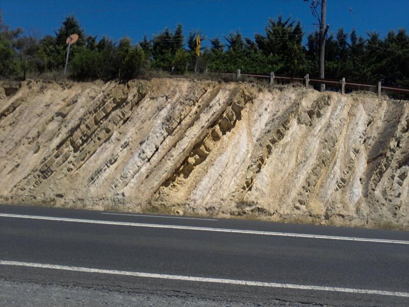
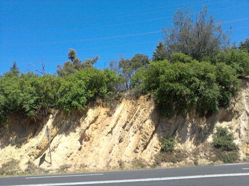
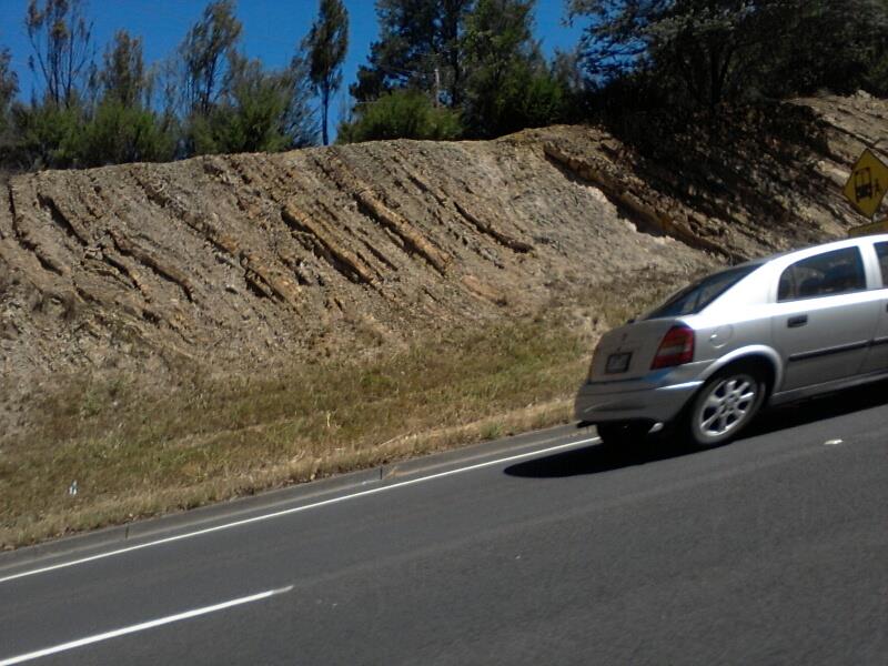
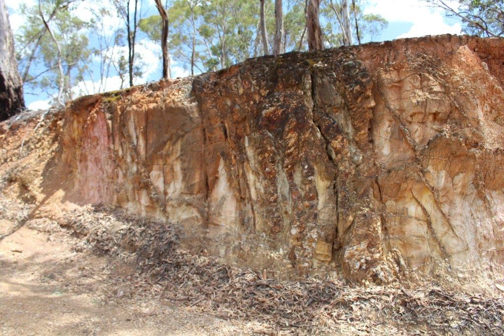
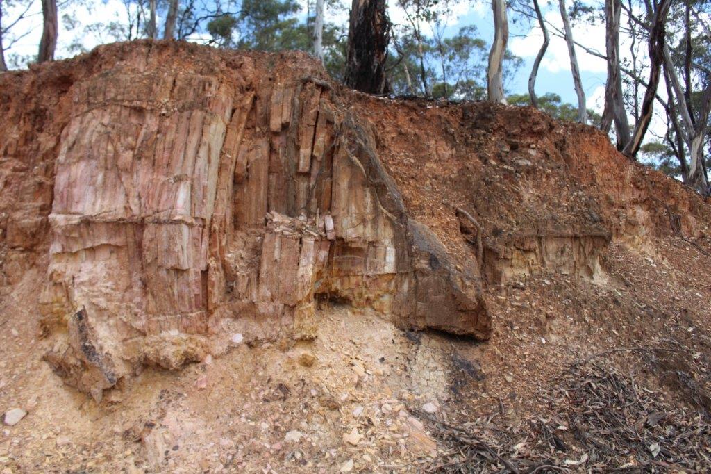
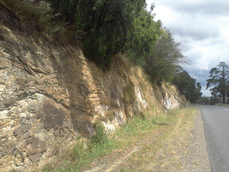
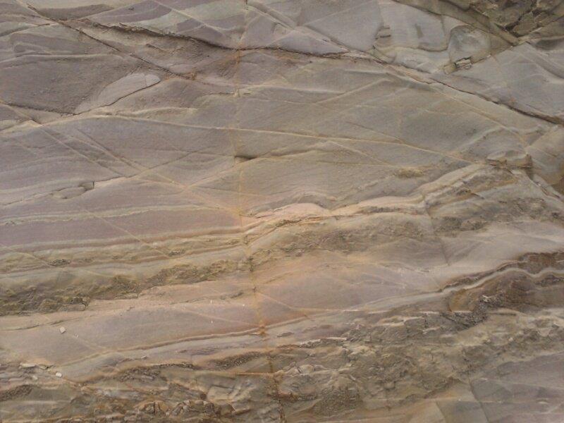
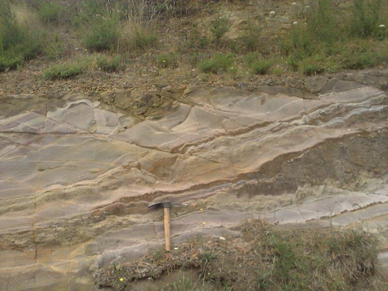
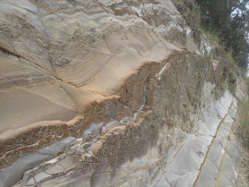
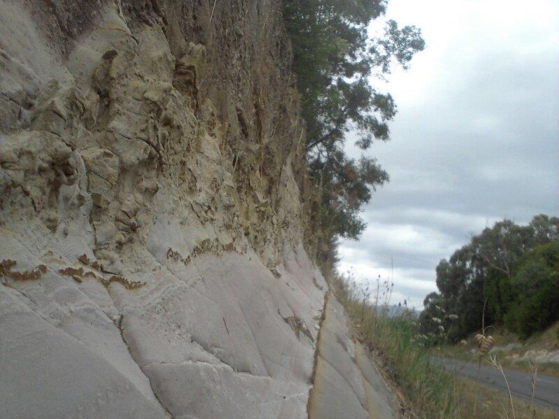
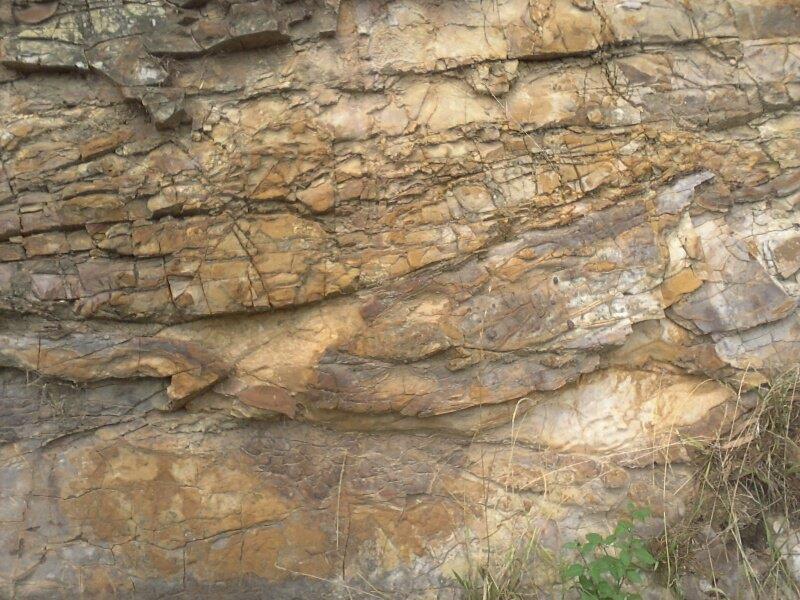
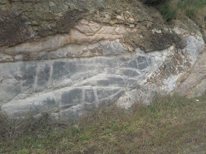
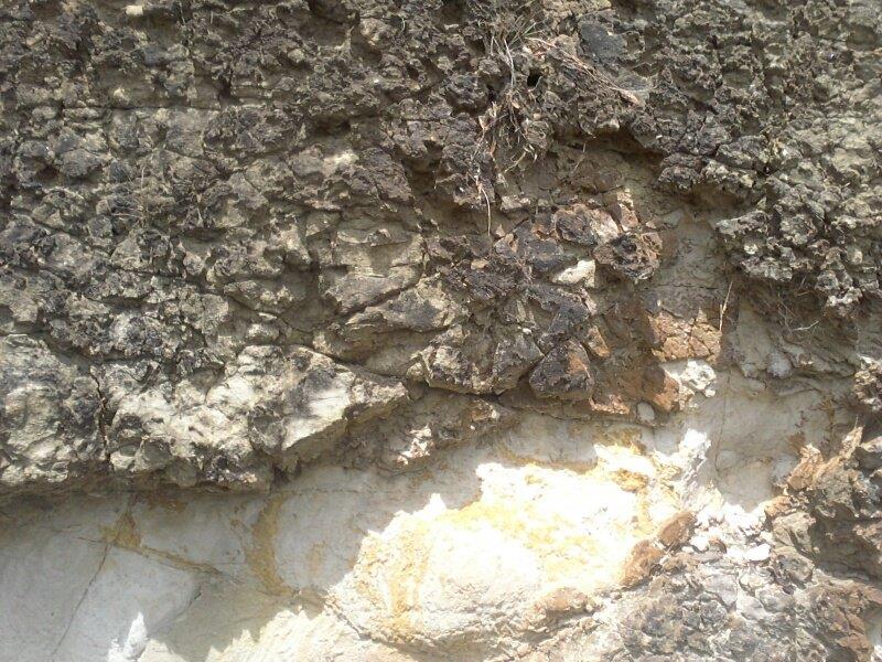
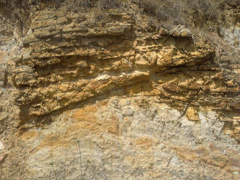
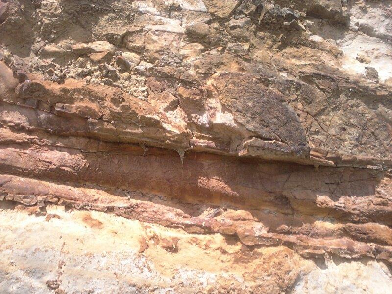
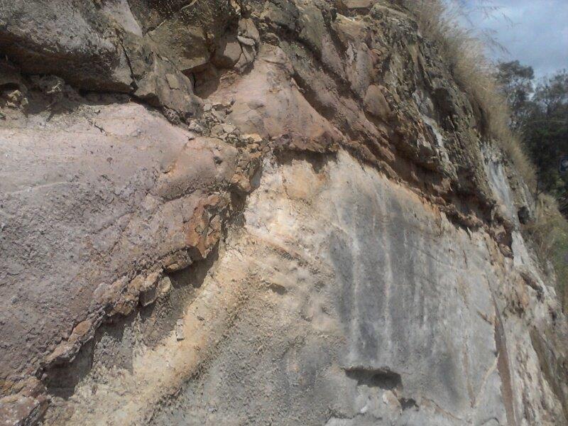
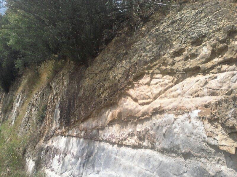
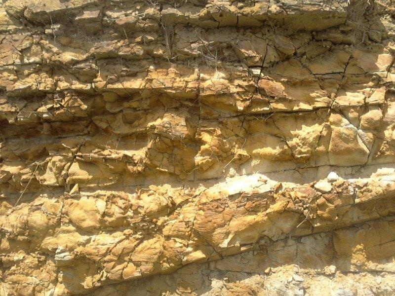
mbasko said:Looks like a drainage channel to me. Are there diggings below it? If so it may have been placed there to divert run off water away from them. Does it lead to another channel, water race or gully/area of run off?
Are there any shafts or diggings above it? Being an auriferous area there is a good chance some gold will have concentrated in it if it's not present in the actual ground already. Good luck with the samples - hopefully it shows something. Keep in mind if there are diggings around then the old timers would have been chasing "payable" gold. What wasn't payable back then can be now.
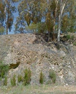
Didn't spend too long there, had a fair few kms to cover for the day, but couldn't see any other digging within eye shot, prospecting or otherwise.
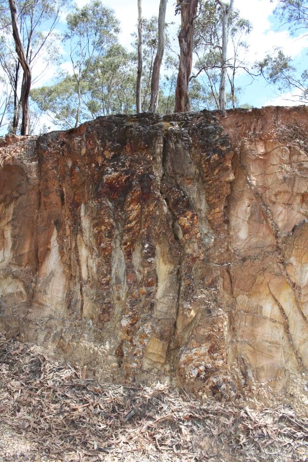
I understand some of the reasons why it may have been left by the old timers, I guess I was thinking more recent history. I'm surely not the only prospector to drive past and take a sample.
Anyway, it was a good physical example of what to look for in the future. I'm a prospecting minnow, all discoveries help me learn
")
Thanks for the input