Jurassic Park

Prospecting Australia

Help Support Prospecting Australia:

This site may earn a commission from merchant affiliate links, including eBay, Amazon, and others.
Joined
May 4, 2014
Messages
1,034
Reaction score
1,195
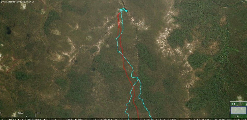
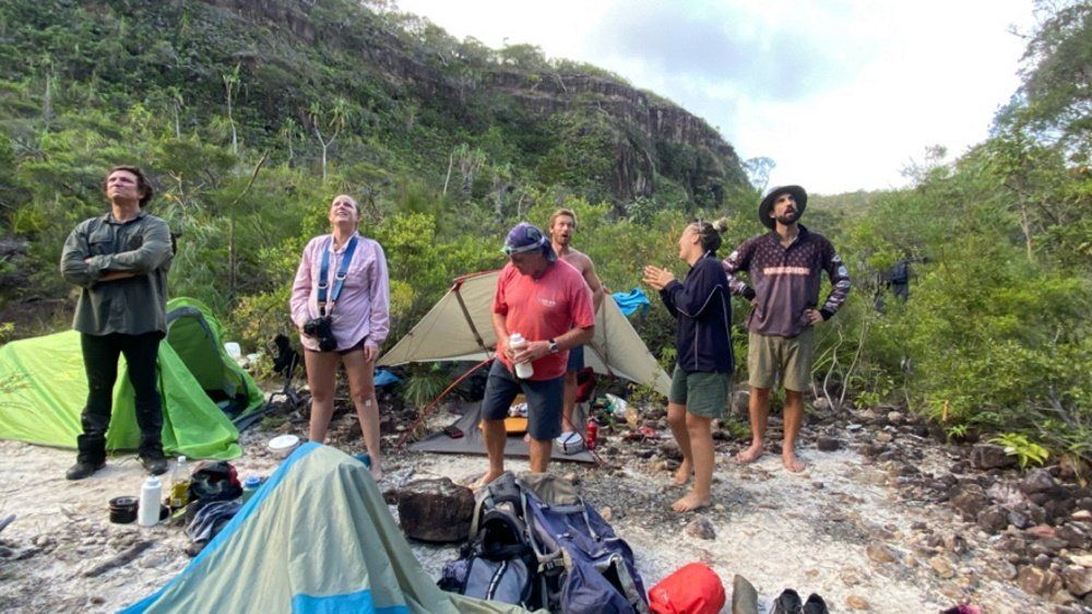
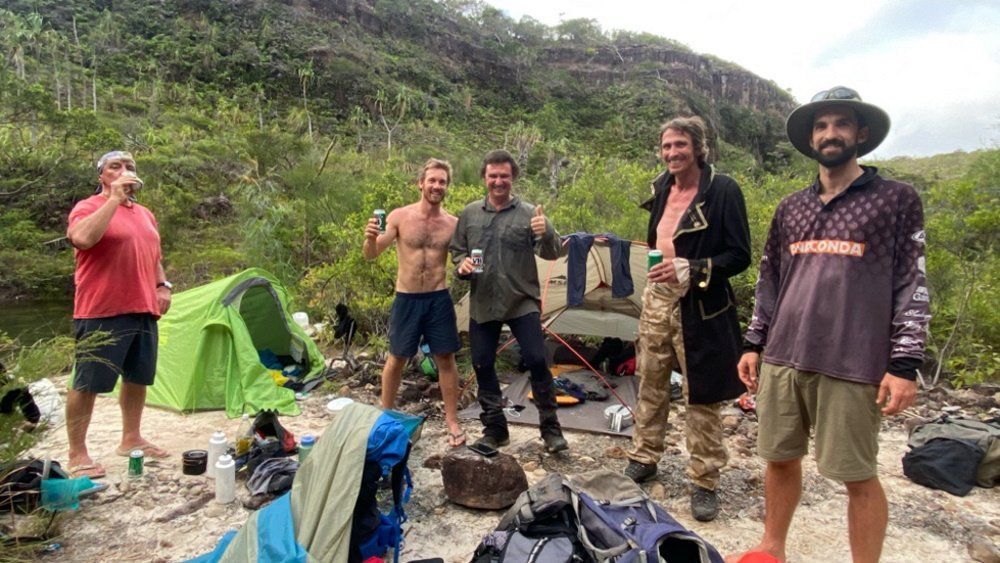
A quick pic of a hike we recently completed. We smashed our way through 20K of unmarked scrub, at times we could see no more than a couple of meters in front of us. Often being attacked by wasp nests we stumbled into. On our return journey we resorted to drinking swamp water to keep our ruck sack weight to a minimum. My initial weight was about 27Kg. 10Kg of that was water. This hike took 'pain' to a whole new level and as one of the guys said "A little slice of heaven and a little slice of hell".
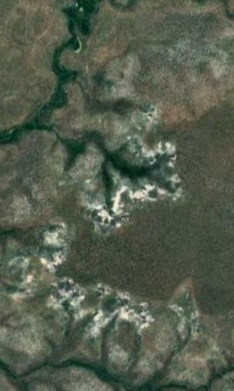
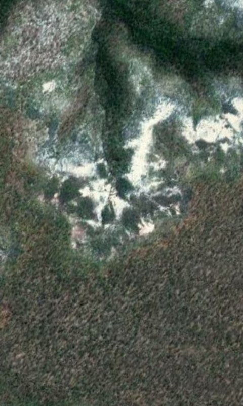
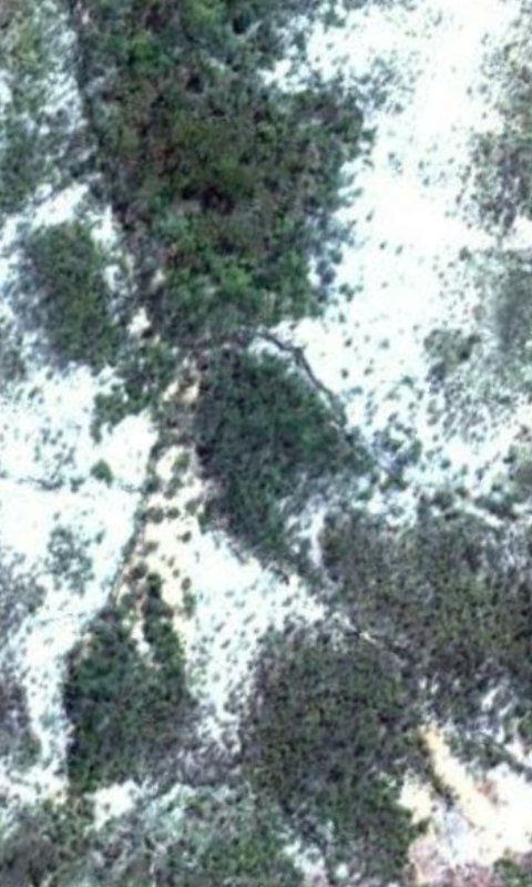
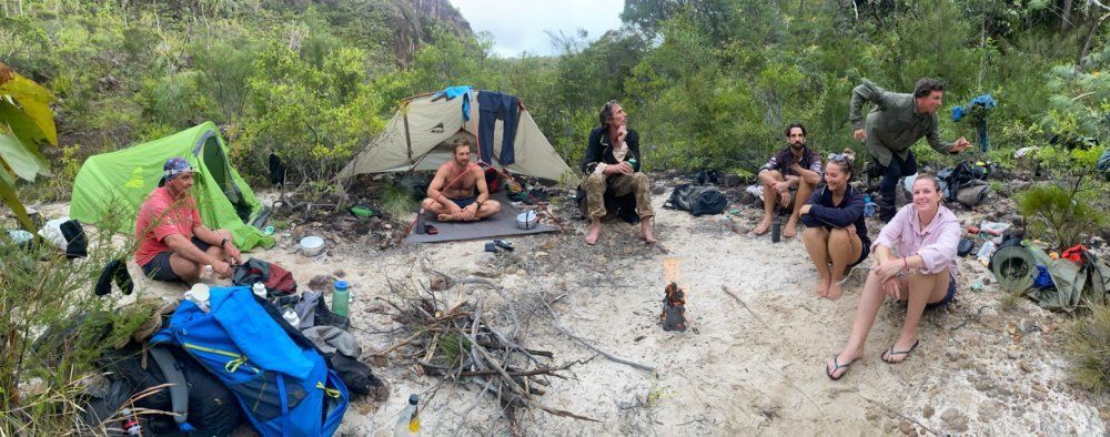
I'll add more pics later. A lot happened and it has been written up but juggling up weather to post the written story.
1603721305_secret_fallsii.jpg

1603721485_secret_falls.jpg

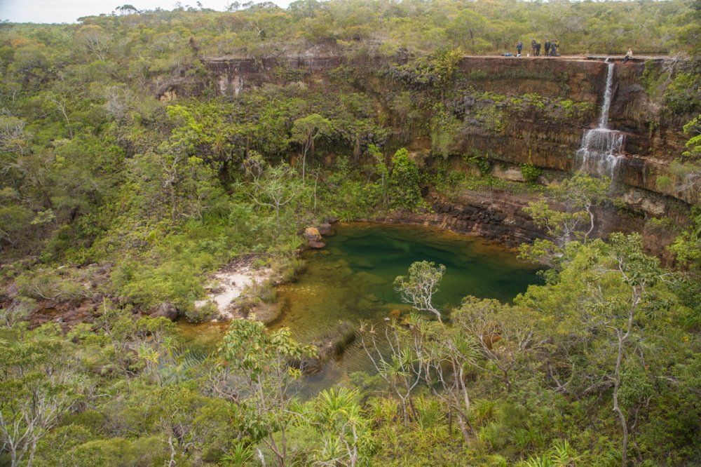
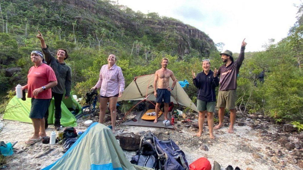
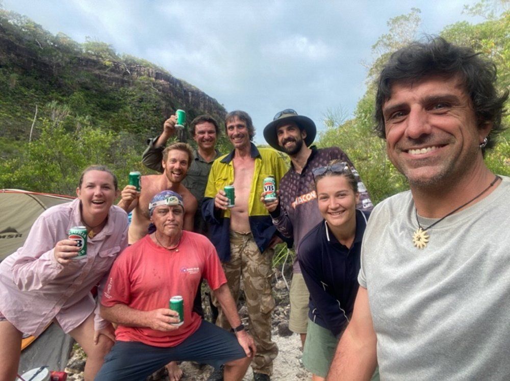
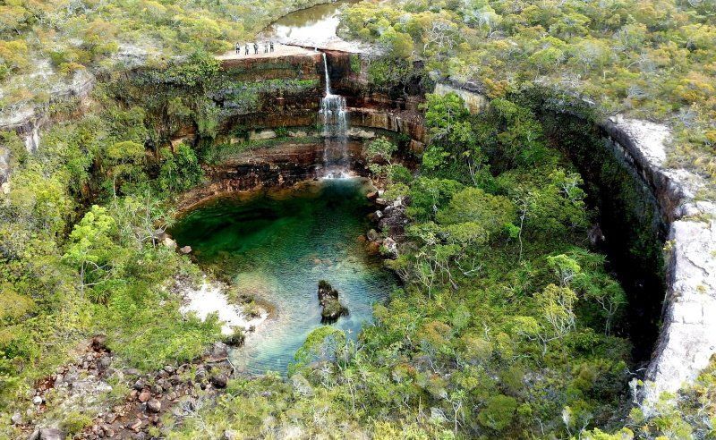
A better shot. Another group who went in a year before.
 
Jaros said:
Where is it-amazing.

Just here Jaros. :playful:

1603798890_map.jpg


Sorry couldn't help it. It's on Cape York. We, as a group, decided not to name the location so to preserve it. Also for others safety. Many have attempted and failed to reach that spot including film crews. The group who took the image in the lower pic ran out of water (carrying 6L's each) on the way in about six km's before the falls.
 
Looks similar to one depicted in "Top of Down Under". If it is, it's in the N.T. in the middle of nowhere, lol.
 
condor22 said:
Looks similar to one depicted in "Top of Down Under". If it is, it's in the N.T. in the middle of nowhere, lol.

Cape York, QLD. If I Google the location there's always only the other group's expedition showing up. But yes, it is in the middle of no where. But we were well geared up on the safety side. Compasses, many GpS's , Radio's, Whistles and a Sat phone.
Although one of the compasses did weird out, spinning (but behaved normally later on). The other group warned us about that problem and interestingly the drone we had crapped out in the same spot. Related? I do not know.
 
Ooowaaaaa..... went looking but stopped at this little quartz blow.
1603801458_screenshot_2020-10-27-22-21-08.jpg
1603801487_screenshot_2020-10-27-22-21-29.jpg
1603801546_screenshot_2020-10-27-22-21-41.jpg


Imagine how big that quartz mountain must be

1603801633_screenshot_2020-10-27-22-22-04.jpg


Anyway.... I don't care where the falls are anymore :p
 
Mr Magoo said:
condor22 said:
Looks similar to one depicted in "Top of Down Under". If it is, it's in the N.T. in the middle of nowhere, lol.

Cape York, QLD. If I Google the location there's always only the other group's expedition showing up. But yes, it is in the middle of no where. But we were well geared up on the safety side. Compasses, many GpS's , Radio's, Whistles and a Sat phone.
Although one of the compasses did weird out, spinning (but behaved normally later on). The other group warned us about that problem and interestingly the drone we had crapped out in the same spot. Related? I do not know.

That sounds like the general vicinity of Iron Range, the compasses and radios in our helicopters used to play up when in that area.

Cheers

Doug
 
Rockhunter62 said:
Mr Magoo said:
condor22 said:
Looks similar to one depicted in "Top of Down Under". If it is, it's in the N.T. in the middle of nowhere, lol.

Cape York, QLD. If I Google the location there's always only the other group's expedition showing up. But yes, it is in the middle of no where. But we were well geared up on the safety side. Compasses, many GpS's , Radio's, Whistles and a Sat phone.
Although one of the compasses did weird out, spinning (but behaved normally later on). The other group warned us about that problem and interestingly the drone we had crapped out in the same spot. Related? I do not know.

That sounds like the general vicinity of Iron Range, the compasses and radios in our helicopters used to play up when in that area.

Cheers

Doug

A bit further North but I know a few pilots who have flown choppers in the area. It would be interesting to know if they had any problems.
Disappointing the drone crapped out though. I'm not going back for a retake. :D
Although April is tempting to see the wet draining off.
 
Ded Driver said:
Mr Magoo ... dont die in the Outback (or anywhere) ... a good trick is to take one of the many water bottle filter units that are available. There is even a "drinking straw" although Im told its frustrating as it has limited capacity/rate.
They arent cheap, but they can save you from waterborne parasites, viruses & bacteria.
https://www.mountaindesigns.com/search?text=water filter
https://www.wildearth.com.au/shop/water-filtration

Nah! We had unknown quantity of filter bottles to clean the water. Packets of pura tabs used at double dose for the swamp water. Maps showing the positions of swamp holes and creeks. Also a couple of PLB's. which I forgot to mention earlier.
I have a water Grayl which is quite good.
But water was always the main priority partly because the previous party had underestimated what was required.
 
There is also a spot on the way to cataract dam above Wollongong that is smaller but just as spectacular. Followed a creek that was full of Macquarie Perch, (endanger species) caught about 6 and then stopped fishing for the completely, but they were thick there, fish a cast!
Very beautiful place, like the photo here.
 
Anniegee said:
Great pics!!!
On Turtles behalf I shall say 'Thank you". And a Thank you from me also.
Turtle was the camera man, loves it. Bloke closest to the camera, third last image.
 

Latest posts

Top