Hi all,
I do a lot of 4wding and use Hema Explorer.
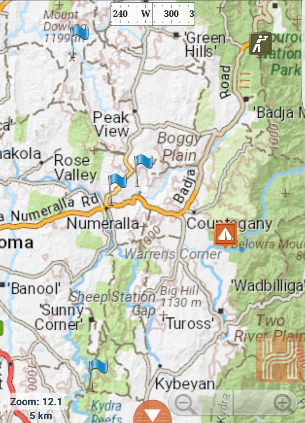
I have just started creating waypoints for mines/goldfields in Hema. This way I have a single point of reference for the mine locations and tracks in and out.
Started with those closest to where I live but will extend it.
I tried to upload a screen shot but the file is too large. I will resize and upload separately.
Just thought I would share.")
I do a lot of 4wding and use Hema Explorer.
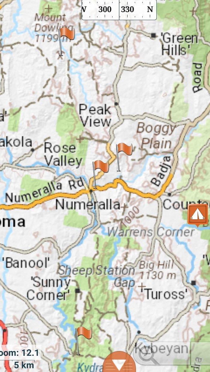
I have just started creating waypoints for mines/goldfields in Hema. This way I have a single point of reference for the mine locations and tracks in and out.
Started with those closest to where I live but will extend it.
I tried to upload a screen shot but the file is too large. I will resize and upload separately.
Just thought I would share.