The Golden Triangle GT Victoria information and questions

Prospecting Australia

Help Support Prospecting Australia:

This site may earn a commission from merchant affiliate links, including eBay, Amazon, and others.
Joined
Jul 14, 2013
Messages
110
Reaction score
16
hi, i was wondering if anyone could give me a bit of advice, i want to try a new location in the triangle, i want to research and buy maps but what would be a good place to start for beginners, bendigo, creswick, etc. any help would be appreciated.
regards kirk
 
A few links can be found under the Gold Maps & Resources section in the forum listings, the DPI, Earth Resources has links as well, think I've attached links in a previous post.
There's heaps out there ....
Cheers Tom
 
Hi
I suppose this is obvious to all but not to me.

I am thinking of going to the Bendigo area for a week or so in a month or so (sorry best I can do as depends on birth of a grand child).

I have Doug Stones Metal Detecting for Gold in Australia and it has some maps. Are these the best maps to use.

He does show areas of where there are diggings but has a caveat saying it is up to you to find out if you can go into these areas.

I am thinking of going to the Whipstick area and may be Dunolly or any where I guess but need to pick a place to start I reckon.

Are there maps showing the public fossicking areas I can use and get access to. I have seen references to online applications but they are a bit hard to follow sometimes.

I apologise if this has been asked many times before (I suspect it has).

RIchard
 
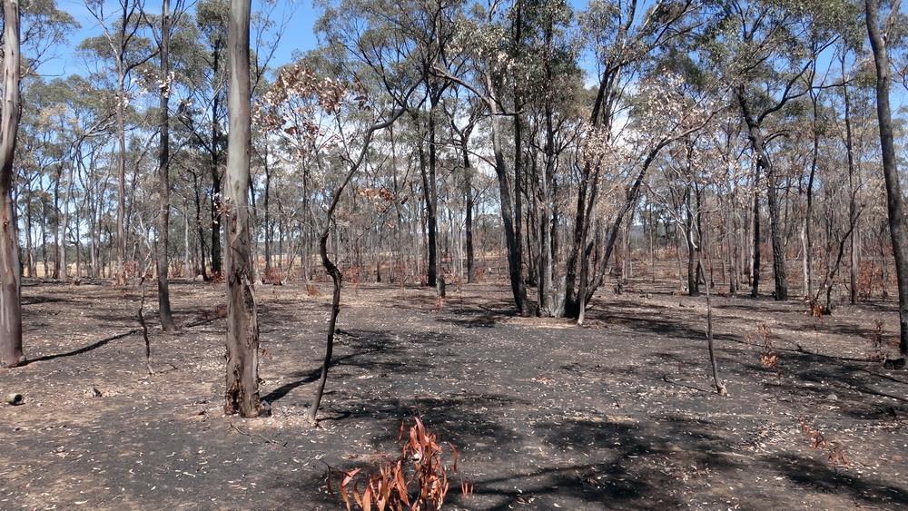
Stones maps are OK - the crown land is marked but not 100% accurate. John Tully also does a more accurate set of diggings, tracks etc - about $20 per book - The Whipstick, Dunolly, Tarnagulla etc (his green bits are crown land). The Parks Victoria website has excellent maps and a guide to what is and is not allowed. You can also use 'geovic' which is a free mapping tool. If you google 'victorian miner rights faq' it has the list of sites where detecting/panning is permitted. The Whipstick is OK, most of the area around Dunolly is OK. These are huge areas with a substantial amount of diggings, reef workings and new ground. Rule of thumb - if its fenced off - keep clear (including the old selectors blocks in the scrub). There are many areas that are fenced but have reverted back to crown land but just to be safe, keep to the huge areas where it is permissible. You can get Tullys maps and very good advice from the dealers in Bendigo, Dunnolly and Maryborough - google the local town detector dealers. Most areas are 2wd accessable - on the maps that are marked 'rough track' take it as 100% they are bloody rough and there has been some grading on what were good tracks that are now dust/mud bowls.

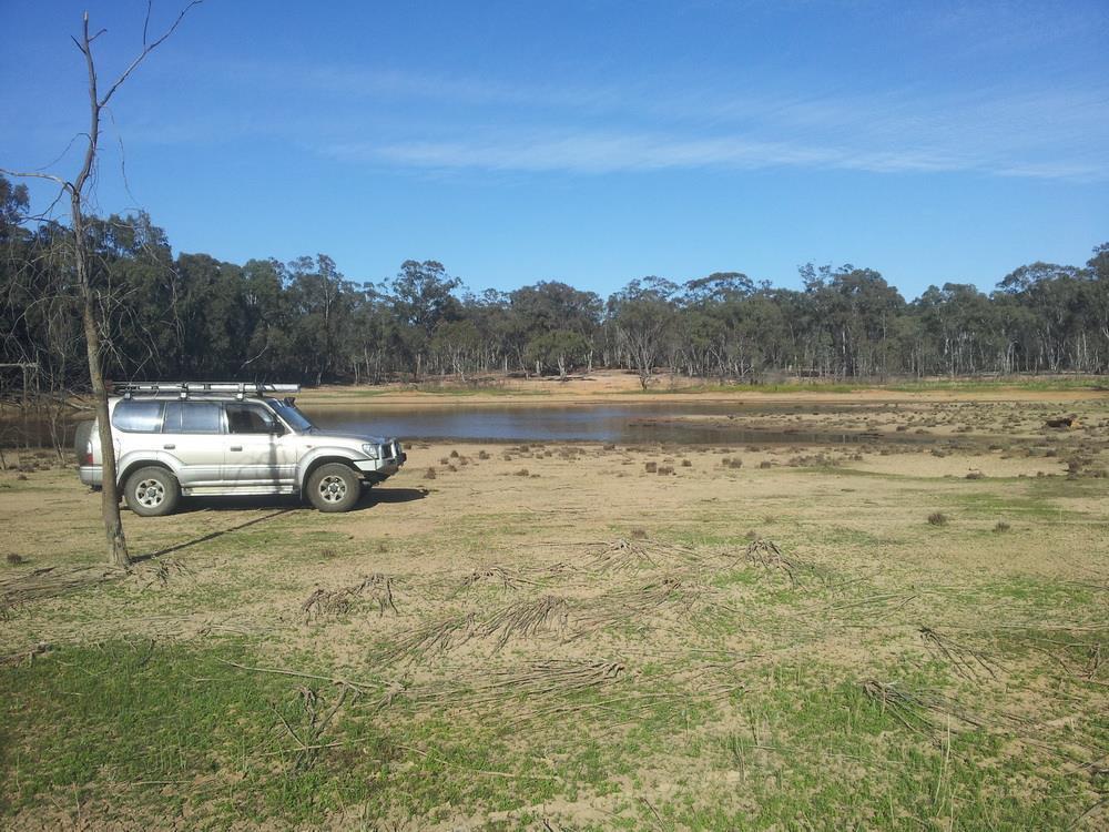
Between Bandigo and Dunolly you also have Tarnagulla and Wanyarra (also has free camping) - both have lots of detectable places. Just be aware, the closer to the towns, and you can detect right up to both Dunolly and Tarnagulla, are very rubbishy in places. You could spend years in either place and never finish the job and its all accessible. The Rangers are very active around the forests at the moment, mainly stopping illegal fire-wood gathering and they can ask to see your Miners Right - they are generally very nice folk. Just driving around you will see lots of diggings in the forest - no fence - generally OK to detect but check the miners rights faq - most forests have signs up stating which one they are. The dealers will see you right as well.

Good luck.
 
Try the local Depi, open weekdays, they were very helpful in determining where was ok and where was not. All is not lost, just mark out where you would like to go, spend half an hour following up when your within the area. I'm sure they will be understanding, i just tools them, I'm new where can i go and they took a map and a highlighter. Hopefully you find it just as simple. Details will come up in a Google search.
 
Definitely check with parks http://parkweb.vic.gov.au/ there's a swagger of new revegitation areas being zoned. I got caught out last week in an area in enfield that was marked as an area for prospecting only 12 months ago I still had the old map when handed the new one. Its not hard to print off a few pdfs to carry with u.

Avoca, dunolly, castlemaine, ballarat all detector friendly
 
Hey all, going to Vic in a couple of weeks to pinch some yeller (well hopefully)
Me and a mate are going to take the sluice and detectors over for a few days.

Thinking of wedderburn for a day then maybe Dunolly and onto Heathcote.
Can anyone pm me some insider info possibly? That's if it's not too much to ask, I am particularly interested in running my sluice in a real nice spot for a few hours. I am guessing I will need to recirculate as water would be gone from creeks etc.
Any help would be very much appreciated as I have no idea where to start.
Thanks all and what a great forum. Great people too.
 
Welcome to the forum, Wedderburn and Dunolly would be bone dry so as you said you will have to recirculate your water. As for Heathcote there should be water in the main creek but not the tributaries. I've only been there once and found zip. I've been told by other members its a real hit or miss area. Where are you from?
 
This pic was taken 2 days ago at the old lead reservoir in Dunolly.
The tree on the left is usually submerged. No swimming this summer :(
All the fire dams are down as well.

1413496723_20141013_091121.jpg
 
Hi guys, yeah I am from the Barossa and have been fossicking for about 12 months now, definitely been bitten by the bug.

I have had a bit of luck sluicing etc but nothing detected so far, pretty keen to get some as is my mate who is in the same boat as me.
Really keen to learn all I can about Wedderburn, Dunolly and Heath cote before we leave in 12 days time. I was talking to an old guy who used to live near Heathcote years ago, he said they panned/sluiced about half an ounce in one day years ago near there, sounds a bit far fetched but I know this guy well and I take his word for it.
Now I just need him to show me where exactly.
Whats the rules on recirculating sluice in Vic please?

Really looking forward to this trip.
 
The problem with gold is you can always be shown where it was but seldom shown where it will be. 8.(
 
Lol Wally, you are right there. I was thinking more along the lines of where are the likely spots one is allowed that haven't been done to death? We will be packing a eureka and an SDC. What I would really love is some good creek tips or crevacing locations. Love to hear from Wal on this one, he seems to know where to look. ;)

I remember going to the snow earlier in the year, we drove through Murtoa, St Arnaud, Bendigo, Rushworth etc - I recall thinking the whole place looks like you could wave a detector over it for miles and come up trumps, Just such good looking ground there.
 
Hi all, I am heading for the GT next week, I have booked a seat with [Prospecting Australia] for the weekend to hopefully learn a bit about the goldfields and learning a bit more about my detector [ML 5000]. I will be staying for a few extra days in Dunnolly chasing the yellow so if anyone can give me any tips on general areas to try and what to look for it would be much appreciated . Cheers Randy
 
Hi Randolph

When I was in Dunolly last, most in the CP said they were heading out towards Avoca and get 15+ pieces a day each. Even if you divide that x 5 its still not bad.
There has been recent burning out Goldsborough way and a lot of ground has been uncovered. Go for a drive out that way and you will find where I mean.
I love Dunolly even if its hard to raise a colour these days. Have a rump at the pub its two feet long!! Have a great time and good luck
 
Try the freshly burnt area around Inkerman track, there has been quite a few small nuggets found over the past few weeks.

Good luck
:)
 
Picked up a few bits there a few weeks ago, burn area quite extensive, would take 100 men 10 years to cover it properly.
Where are you staying?

1417232733_burn.jpg
 

Latest posts

Top